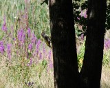
Le Pic Vert
 ,
,  ,
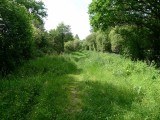
,  Itinéraire VTC ou VTT
 Départ : La-Chapelle-des-Marais
 Arrivée : La-Chapelle-des-Marais

 ITINERAIRE_DEPART_ARRIVEE
 ITINERAIRE_POINT_INTERETS
- Praktische Informationen :
") Geschätzte Dauer (für eine Geschwindigkeit von 4 km/h) 1h45
Geschätzte Dauer (für eine Geschwindigkeit von 4 km/h) 1h45 Länge: 7 km
 Abfahrts-Ort La-Chapelle-des-Marais
 Ankunfts-Ort La-Chapelle-des-Marais
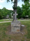
 Zugang: Esplanade Bernard Legrand (Médiathèque)
 Strecke markiert in Jaune
Download