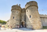
De la cité médiévale aux marais
 ,
,  Itinéraire Vélo de ville
 Départ : Place du marché au Bois, Guérande
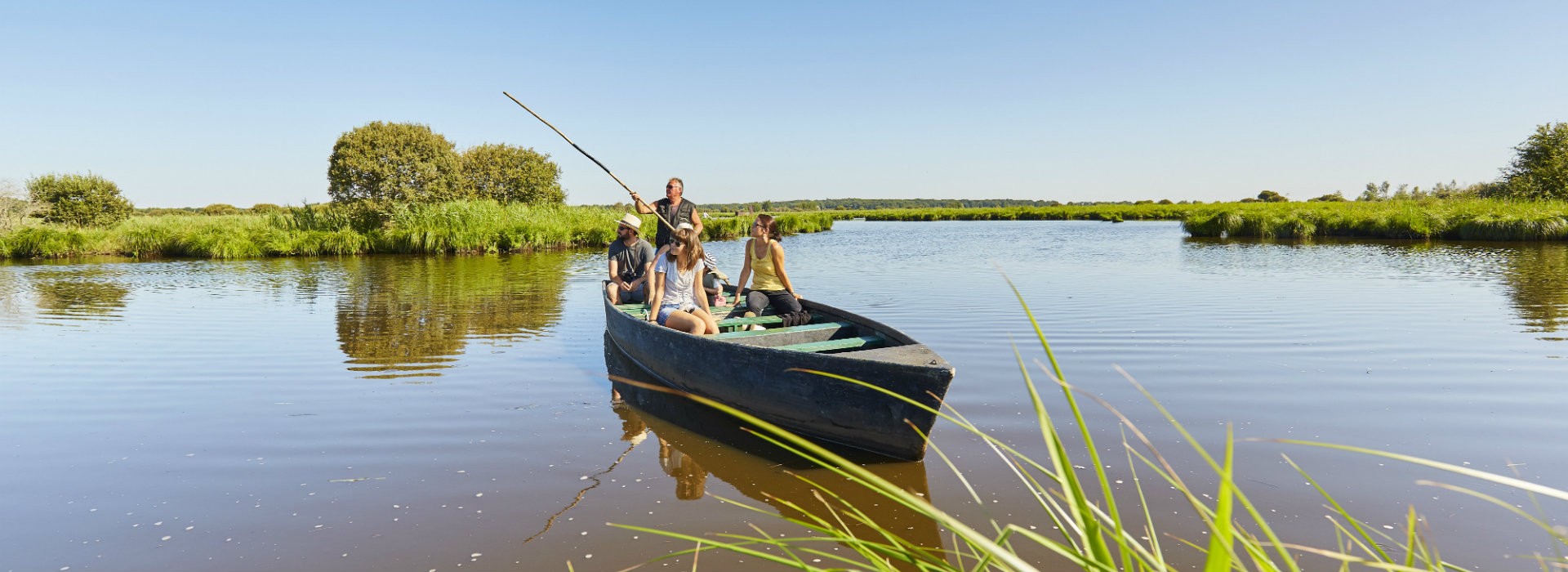
 Arrivée : Port de Bréca ou Pointe de Pen Bron

 ITINERAIRE_DEPART_ARRIVEE
 ITINERAIRE_POINT_INTERETS
Circuit n° 1
- Praktische Informationen :
") Durée (à vélo) 1h00
Durée (à vélo) 1h00 Länge: 10 km ou 13 km
  Abfahrts-Ort Place du marché au Bois, Guérande
 Ankunfts-Ort Port de Bréca ou Pointe de Pen Bron
 Zugang: Place du marché au Bois, Guérande
Download
- PDF_Topoguide VELO Les Belles échappées_Fiche n°9-De la cité médiévale aux marais_Guérande-La Turballe-Saint-Lyphard (77.21 Mo)
- GPX_Fiche n°9_De la cité médiévale aux marais (156.61 Ko)
- PDF_Cycling Topoguide Beautifull Escape_File-n°9_From the medieval city to the marshes (90.37 Mo)
- PDF_Radfahren Topoguide Schone Wanderausfluge-Datei-nr9_ Von der mittelalterlichen stadt zu den s mpfen (89.89 Mo)