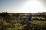
Circuit de la Duchesse
 ,
,  ,
,  Itinéraire Avec poussette
 Départ : St Molf
 Arrivée : St Molf

 ITINERAIRE_DEPART_ARRIVEE
 ITINERAIRE_POINT_INTERETS
Circuit n° 1
- Praktische Informationen :
") Geschätzte Dauer (für eine Geschwindigkeit von 4 km/h) 1h20
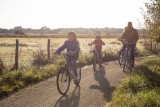
Geschätzte Dauer (für eine Geschwindigkeit von 4 km/h) 1h20") Durée (à vélo) 0h20
Durée (à vélo) 0h20 Länge: 5.5 km
 Abfahrts-Ort St Molf
 Ankunfts-Ort St Molf
 Zugang: parking de la Roche Blanche
 Strecke markiert in Jaune

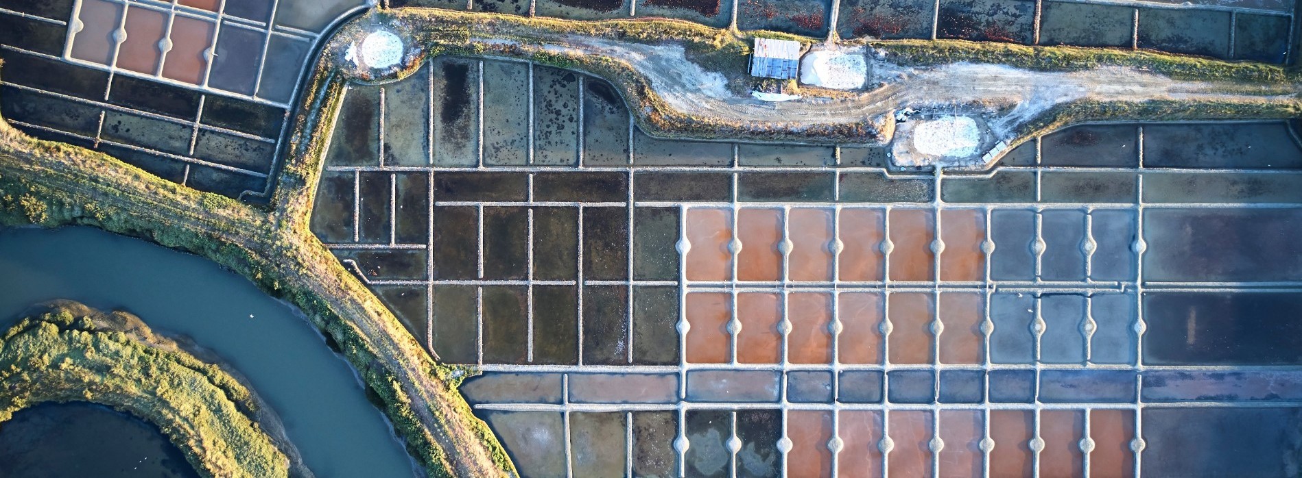
Point 1 - Les marais salants du Mès
ST MOLF
ST MOLF
-
- Durée 60 mn.
- Distance 5 km.
Download
- Trace GPX_Circuit de la duchesse_Saint-Molf (12.19 Ko)
- PDF_TopoguidesBellesEchappées_Fiche 13_Le circuit de la duchesse (2.02 Mo)
- PDF_Wander-Topoführer Schöne Wanderausfluge_Datei Nr13_Herzogin-Rundweg_Circuit de la Duchesse (16.17 Mo)
- PDF_Hiking Topoguide Beautifull escape_File n13_The Duchess Trail (Circuit de la Duchesse) (16.16 Mo)